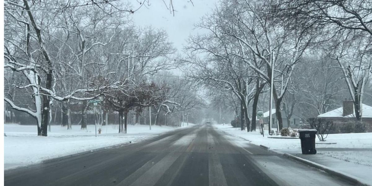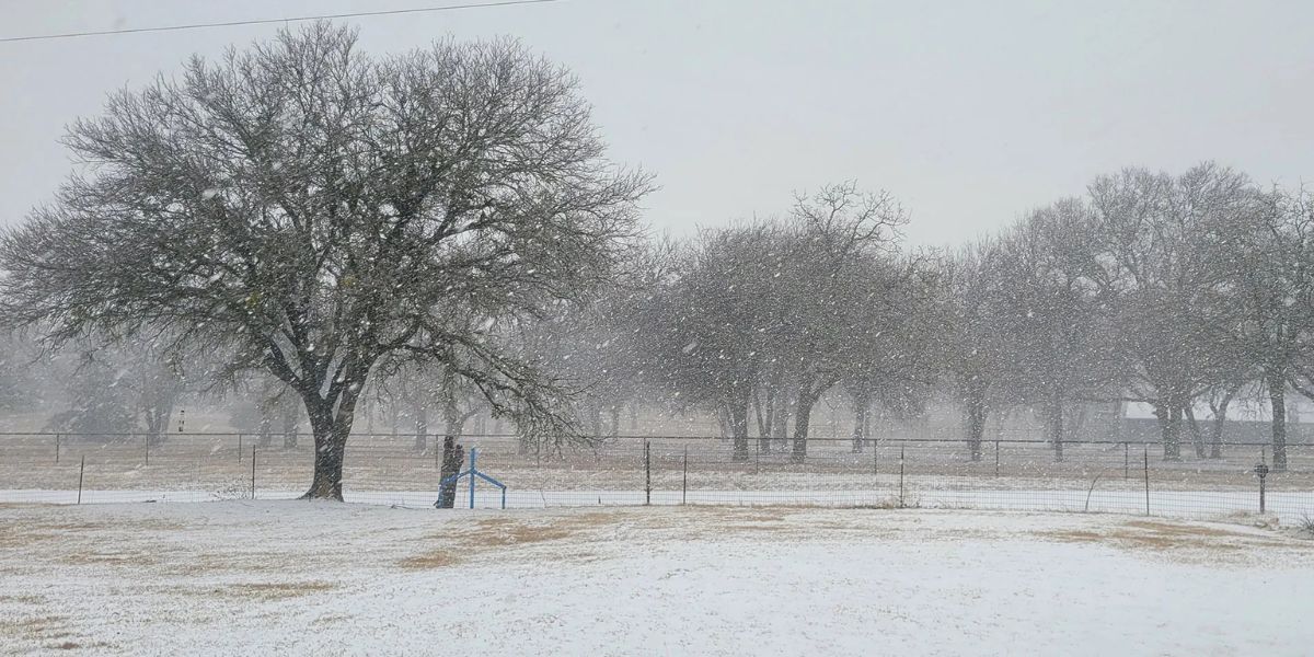
With the potential to have major effects in the San Francisco Bay Area, a trio of atmospheric river storms are pounding Northern California this weekend and into next week with valley rain and mountain snow.
According to forecast models, a large portion of the first storm’s precipitation will move northward across the Bay Area this weekend, resulting in widespread rain totals of 1-3 inches, with higher elevations perhaps seeing 5-6 inches.
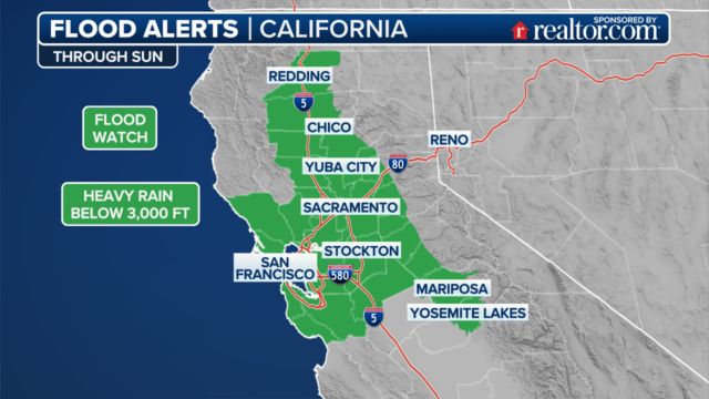
Over 12 million people, including those in Sacramento and the San Francisco Bay Area, are under a flood watch through Sunday night.
According to forecasters, the whole event will be warmer and snowfall levels will rise to several thousand feet since the air mass, known as a “Pineapple Express,” originates close to Hawaii.
A sizable portion of Northern California has been designated as having a Level 2 out of 4 danger of flash flooding from Saturday through Monday by the National Weather Service’s Weather Prediction Center.
Since some river levels in the area are already high, there is a higher chance that rivers would overflow their banks.
Wind comes with the rain, particularly in mountain and coastal regions, where gusts of up to 30 to 40 mph are expected through the weekend.
This week, the National Weather Service office in San Francisco predicts that “the combination of gusty winds and moistening soils will increase the likelihood of downed trees and power outages.”
In the meantime, it appears likely that feet of snow—possibly several feet—will fall from the far northern Sierra Nevada into the Cascades. This would have a significant impact on traffic on I-80 and potentially on the upper elevations of I-5.
There will be more storms the next week
On Sunday, the present atmospheric river storm will move inland, but on Monday and Tuesday, it will be replaced by another storm, which will bring more rain to the area.
On Monday and Tuesday, the Bay Area is predicted to receive an additional 1-2 inches of rain, with the North Bay receiving more. From Wednesday through Friday, a third storm system is expected to bring further showers, further filling the rain gauges.
By the end of the week, the Bay Area valleys might receive 4-6 inches of rain, while the mountains could see storm totals of 8-9 inches.
“Coastal areas of the North Bay may experience shallow landslides,” NWS San Francisco said. “The threat will extend southward to higher elevations of the Bay Area, particularly the Santa Cruz Mountains by Tuesday.”
February Gas Prices Set to Rise – Here’s Why the Trump Administration’s Move Will Affect Your Wallet
Limited fire zone relief
Residents in the southern portion of California will be hoping for some additional precipitation while Northern California enjoys abundant rainfall.
Large-scale fires that have damaged over 16,000 buildings and forced hundreds of thousands of residents to temporarily evacuate their homes have been occurring in sections of San Diego and Los Angeles counties since early January.
Extreme drought conditions have been reported in several of the same fire zones, with about 54% of the state officially under drought conditions.
More moderate odds of precipitation are anticipated over cities and localities like Los Angeles and San Diego, with as much as three-quarters of an inch of rainfall over the following week, since the storm track is not predicted to pass directly over Southern California.
The increased humidity levels, which are certain to help suppress any significant flare-ups along wildfires, may be just as advantageous.